
Community Mission
The mission of the Geospatial Working Group (GWG) is to expand awareness and leverage the power of geospatial engineering to enhance operational outcomes. We aim to build a foundation that integrates people, processes, and tools, enabling the creation of digital solutions that improve engineering across basing, support, and battle spaces. Positioned under the Facility Asset Management (FAM) COI, the GWG serves as a vital cross-functional asset within SAME.
Join the SAME Engage GWG NetworkCOI Objectives
- Reinforce Geospatial Engineering as one of the three core doctrinal U.S. military engineer functions, emphasizing its role in supporting cross-functional missions across the entire Force.
- Support and contribute to Geospatial-Intelligence (GEOINT) activities by delivering engineering capabilities that enhance data accuracy and understanding of geographic locations.
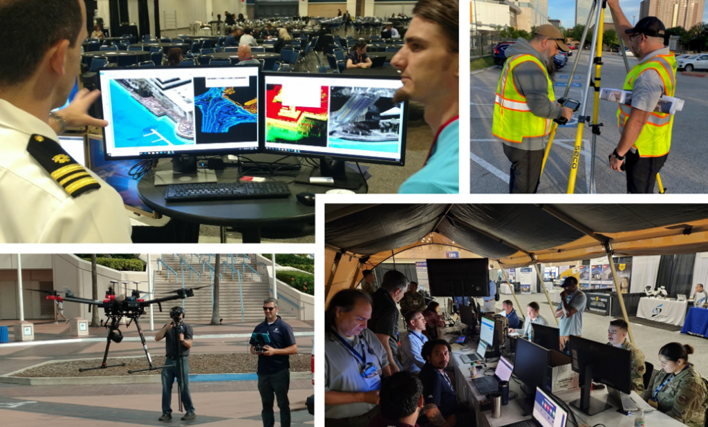
- Provide expertise in data analysis and portrayal of both natural and constructed geographic features and boundaries, essential for mission planning and decision-making.
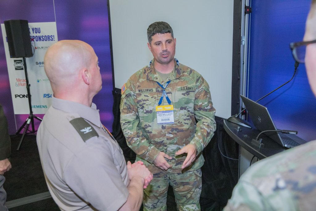
- Integrate diverse skill sets within Geospatial Engineering, including architects, cartographers, coders, data analysts, geospatial engineers, remote sensing specialists, and sUAS pilots, to offer comprehensive support to military and engineering operations.
- Leverage geospatial data to refine insights and enhance situational awareness for improved operational outcomes across multiple disciplines.
“The Geospatial Community of Practice is an umbrella
community encompassing Survey and Mapping, Remote Sensing, GIS,CAD-BIM, and
other groups engaged in geospatial work.“
– Mr. Jacob Watts, Geospatial Community of Practice Leader, USACE


The key is to think about geospatial technology not as playing one particular role but as adding unique capabilities and progressively more value at different stages of the digital twin journey.
SAME National Webinars
-

- Location
- Webinar
100 Days: A Recap and A Look Ahead
Reflecting on the significant events of the past 100 days, we will highlight the new Administration’s most impactful executive orders and their ramifications for the AEC sector. From travel restrictions to stop work orders and payment halts, the landscape has shifted dramatically, and staying informed is crucial for success. -

- Location
- Webinar
Mission to Build: Opportunities and Challenges of Veterans in Construction
In February 2024, the $1.2 trillion U.S. construction industry (non-residential) had 456,000 unfilled positions, the highest number in the last 20 years. With foundational and unique skills honed through military service, Veterans could excel in the wide variety of available roles. -

- Location
- Webinar
Behind the Bid: How Contractors Make Go/No-Go Decisions and What Makes a Project Worth Pursuing
Have you ever wondered why a seemingly well-planned federal construction project draws limited bids—or none at all? From the contractor’s perspective, the decision to pursue a project involves a complex analysis of cost, risk, competition, and opportunity.