By Blaine Snyder, Bob Murphy, and Jon Aglio, M.SAME
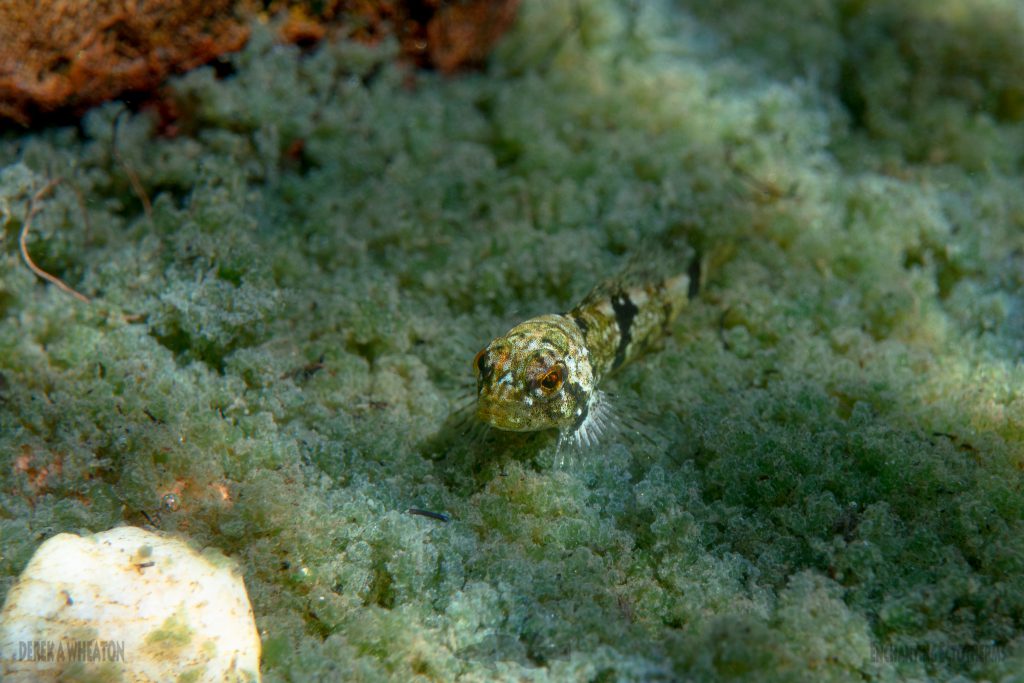
The pygmy sculpin is a bottom-dwelling fish species native to Alabama’s Coosa River watershed that prefers cold, clear waters and clean bottom substrates of springs with consistent groundwater flows. The fish can easily go unnoticed by casual observers because of their ability to camouflage themselves, their ability to actively adjust their mottled colors to match the sand or gravel beneath them, and their small size. Mature adult pygmy sculpins are less than 2-in long.
This sculpin species was discovered in 1963 in Calhoun County, Ala. While pygmy sculpins were probably more widely distributed historically, its entire range is confined to Coldwater Spring—a single 6-million-gal spring pond and its 500-ft outflow in northeastern Alabama.
In 1986, those waters were found to contain low levels of trichloroethene, a toxic industrial solvent, which continues to be detected today. Because of the sculpin’s extremely limited distribution and associated vulnerability to environmental stressors, it is federally listed as a threatened species and considered critically imperiled under the Alabama Heritage Program.
From 2019 to 2022, Anniston Army Depot and the Mobile District of the U.S. Army Corps of Engineers conducted investigations to characterize current conditions in Coldwater Spring and identify any risks that might be present. A key objective was to estimate the size and stability of the sculpin population. The challenge was to design an approach to estimate the population density of a federally protected, cryptic bottom- dwelling fish without disturbing or harming it.
Mobile District and Anniston Army Depot contracted with Tetra Tech to develop innovative solutions to help assess and protect the species.

SURVEYING THE SPRING
Coldwater Spring is a significant drinking water source (just south of Anniston Army Depot) that produces a daily output of about 32-million-gal of water. The City of Anniston Water Works and Sewer Board owns the property on which the spring is located, and also operates the Paul B. Krebs Water Treatment Plant that supports it, and treats and distributes drinking water to Anniston Army Depot, the City of Anniston, and several smaller communities. Water enters Coldwater Spring from bottom “boils” in the spring pond and flows over a low weir dam to form the 500-ft-long spring run that ends at the confluence with Dry Creek, a warmwater stream.
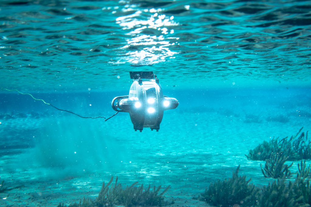
The Alabama Department of Conservation & Natural Resources, working with the U.S. Fish & Wildlife Service and the Environmental Protection Agency Region 4, granted the necessary permits and permissions to conduct 10 quarterly pygmy sculpin surveys over a 2.5-year period to assess seasonal and annual population variations. To address the challenges of sampling a protected fish species, a series of innovative tools were utilized, including a remote-controlled underwater drone, (or remotely operated vehicle), digital imaging, and videography. This approach allowed for population estimates to be conducted without disturbing substrates or sculpins. The remotely operated vehicle was equipped with a full high-density low-light camera that enabled video recording and real-time viewing at high resolution. The clear water conditions in Coldwater Spring were optimal for videography.
Documenting evidence. After a grid of 241 possible sampling points was established, a random number generator was used to select 50 transect point locations in the spring for filming during each sampling event. The remotely operated vehicle was maneuvered to each location, pointed its lens toward bottom substrates, and recorded at least 1-min of video.
All videos were transferred to a laptop computer. Then, each was viewed and reviewed in the laboratory. A standardized method was developed for reviewing videos and counting sculpins; work included uploading each video to image acquisition and measurement software to view at 3- to 4-frames/ sec (with zoom in/out capabilities). The team also employed a calibration tool to measure distance between laser scaler points on the screen and used an on-screen measurement tool (post-calibration) to quantify viewing area in each video. Sculpins were reported as the number present within each 0.5-m² viewing area.
Evaluating site types. Pygmy sculpin numbers per standardized area of Coldwater Spring were calculated for major habitat types. Overall, the highest densities were found in rock habitats (which included hard substrates from gravel to cobble and boulders), followed by lower densities in areas of colonial algae and sand. The lowest densities were found in submerged aquatic vegetation.
These data and geographic information system tools enabled detailed mapping of sculpin densities. The maps showed that pygmy sculpins are distributed throughout Coldwater Spring with some seasonal variations in density but few consistent distributional patterns. Analysis of the distributional density data using statistical techniques (spatial regression) allowed estimation of the size of the pygmy sculpin population. While there are both seasonal and annual fluctuations, overall, the population estimates for Coldwater Spring range from approximately 12,000 to nearly 23,000. Even though historical survey methods have differed, it appears that pygmy sculpins have not experienced significant changes in population size or range, since the 2020−2022 population estimates are comparable to state and federal agency estimates from more than 20 years ago.

to camouflage themselves
SURVEYING THE RUN
The remotely operated vehicle method employed at Coldwater Spring was not an option for counting sculpins in the spring run because of stream flows and shallow depths in some areas. Instead, necessary permits and permissions were granted to allow adaptive sampling methods for spring run habitats.
In-Water Approach. Kick-seining (using a net connected by two poles) was the most effective method for collecting sculpins in those shallow flowing waters. A 1-m long by 1-m deep seine was used to sample a 1-m² area of stream bottom and allow stream flow to wash sculpins into the net.
Overall, 14 transects were delineated in the spring run from the Coldwater Spring spillway to the confluence with Dry Creek. Samples were collected from five points along each transect; this resulted in a total of 70 sampling points during each survey. Pygmy sculpins were counted in the seine and released unharmed immediately after collection.
Data Collection Analysis. Survey results indicated that, despite some seasonal fluctuations, sculpin densities did not change significantly in the spring run over the 30-month survey period. Spatial mapping results showed that sculpins were distributed throughout the entire 500-ft length of the run. Statistical estimates from the collection indicated there are between approximately 1,100 and nearly 3,000 pygmy sculpins in the spring run.
When compared to historical records, it appears that, as with the Coldwater Spring population, the spring run population is relatively stable. Despite differences in survey methods and approaches to estimating populations over time, the 2020−2022 spring run population estimates are comparable to state and federal agency estimates from more than 20 years ago.

SPECIES SURVIVAL
Although the recent survey illustrated that pygmy sculpins populations are relatively stable presently, the species remains vulnerable to impacts from random natural or human-induced events due to their restricted range.
The 2020−2022 investigations not only prompted the development of an innovative monitoring approach, but they also filled in an important data gap by a providing contemporary pygmy sculpin population estimates and specific distribution maps—both of which are crucial elements for maintaining and protecting this threatened species in the United States.
Related Posts
-

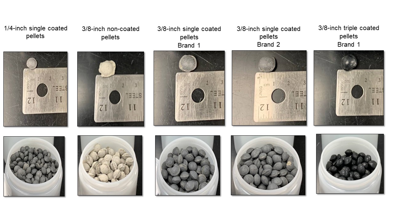
Determining the Presence of PFAS in Coated Bentonite Pellets
A recent study, which investigated the potential for per- and polyfluoroalkyl substances to leach from coated bentonite pellets commonly used during environmental monitoring well construction, also revealed the extent of consequences derived from false positives during site samplings. -

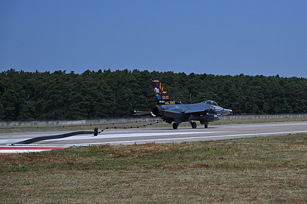
Construct, Catch, Train: Delivering Cradle-to-Grave European Theater Aircraft Arresting Systems
In preparation for a delivery of F-16 fighter aircraft to Malacky AB, the 435th Construction & Training Squadron completed the overseas repair of an aging aircraft arresting system, confronting timing challenges to complete the installation ahead of schedule. -

Embracing Modern Mass Communications Systems
Modern mass communication systems utilizing Internet Protocol-based adoption offer many benefits over legacy analog systems for military bases, including critical issues of security, functionality, and compliance to meet evolving expectations, standards, and safety requirements.